

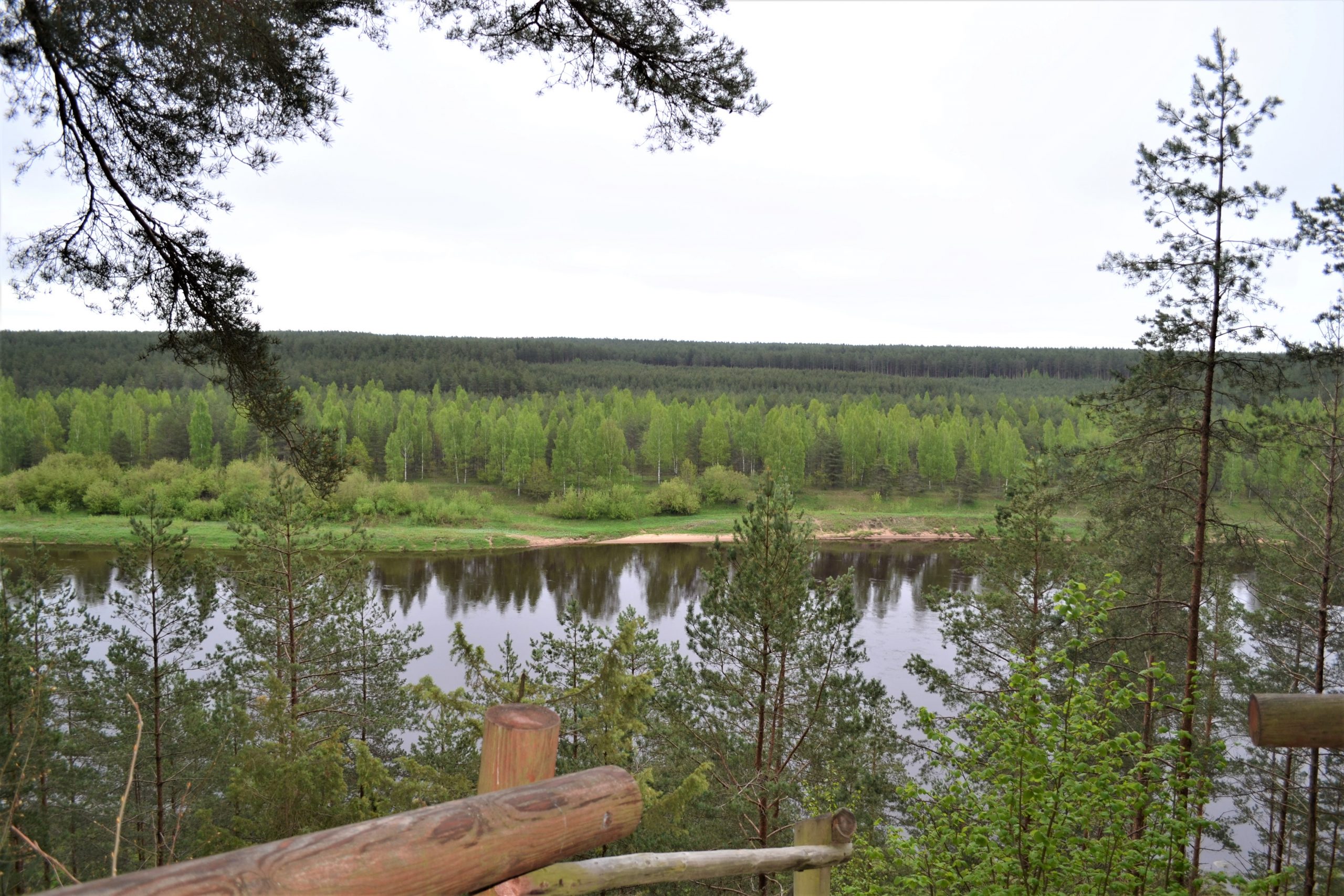

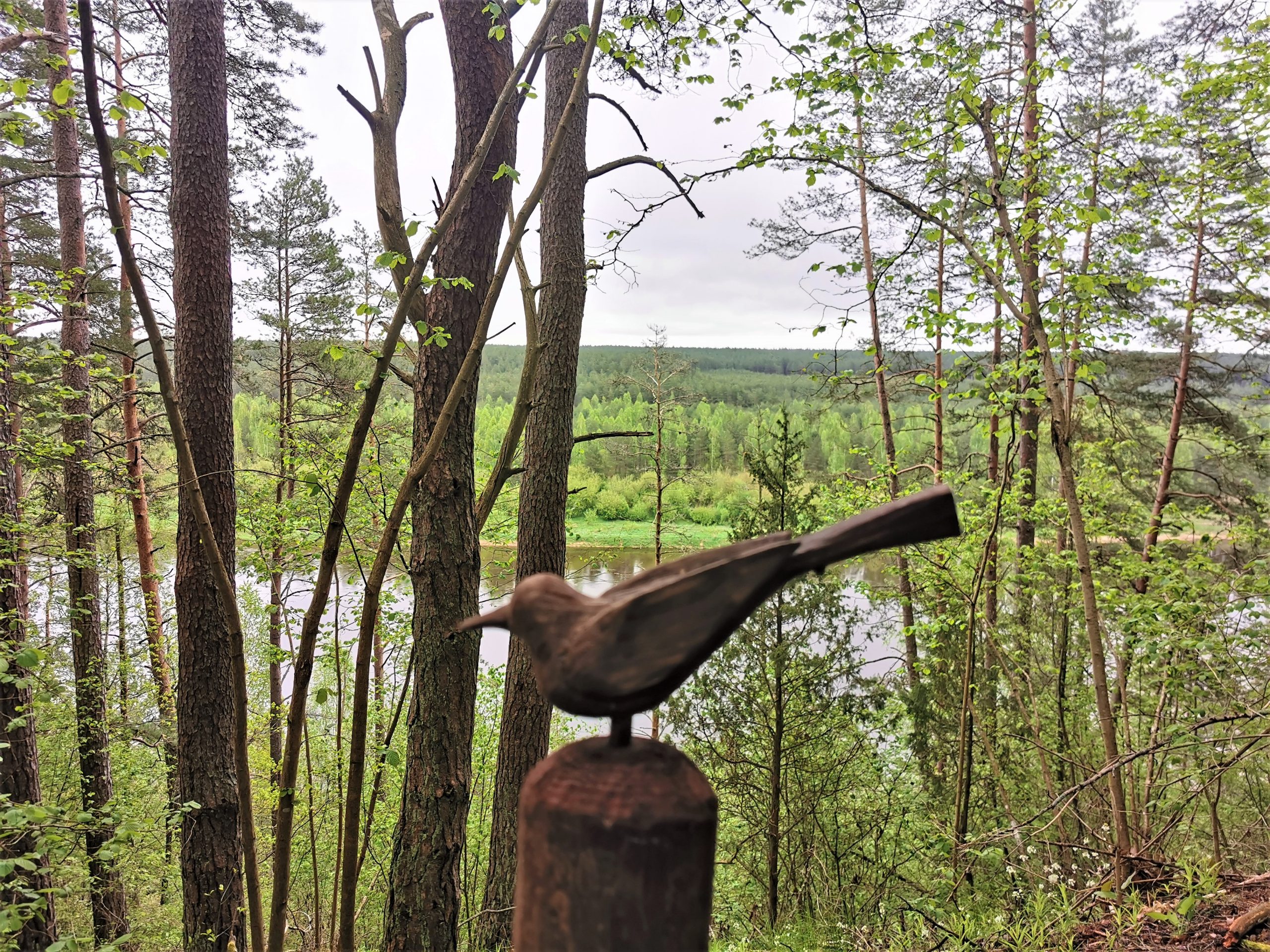

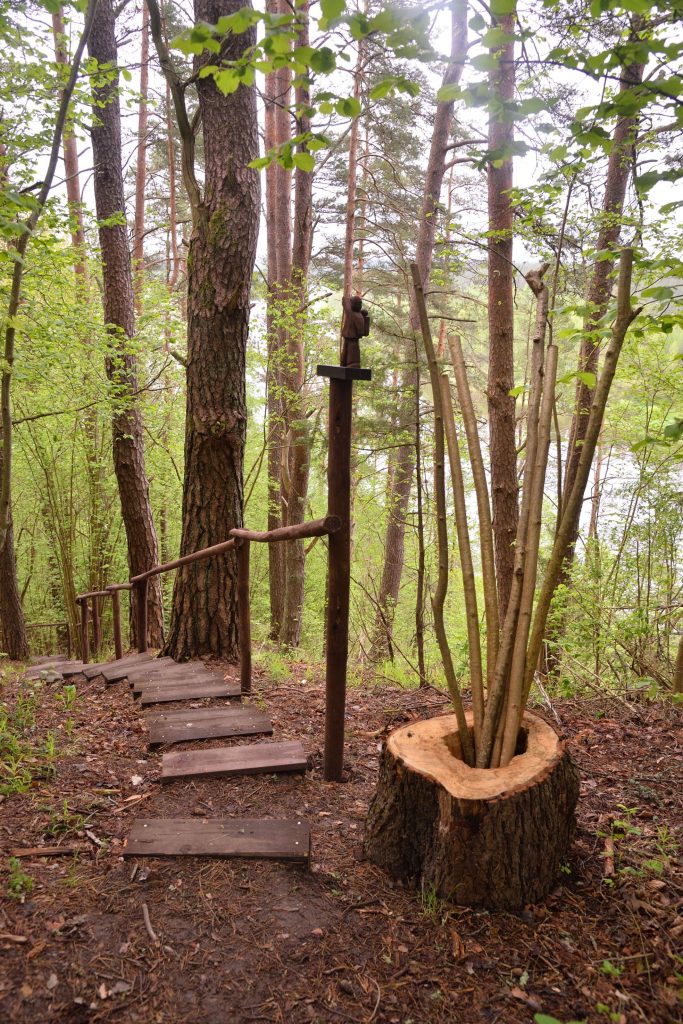
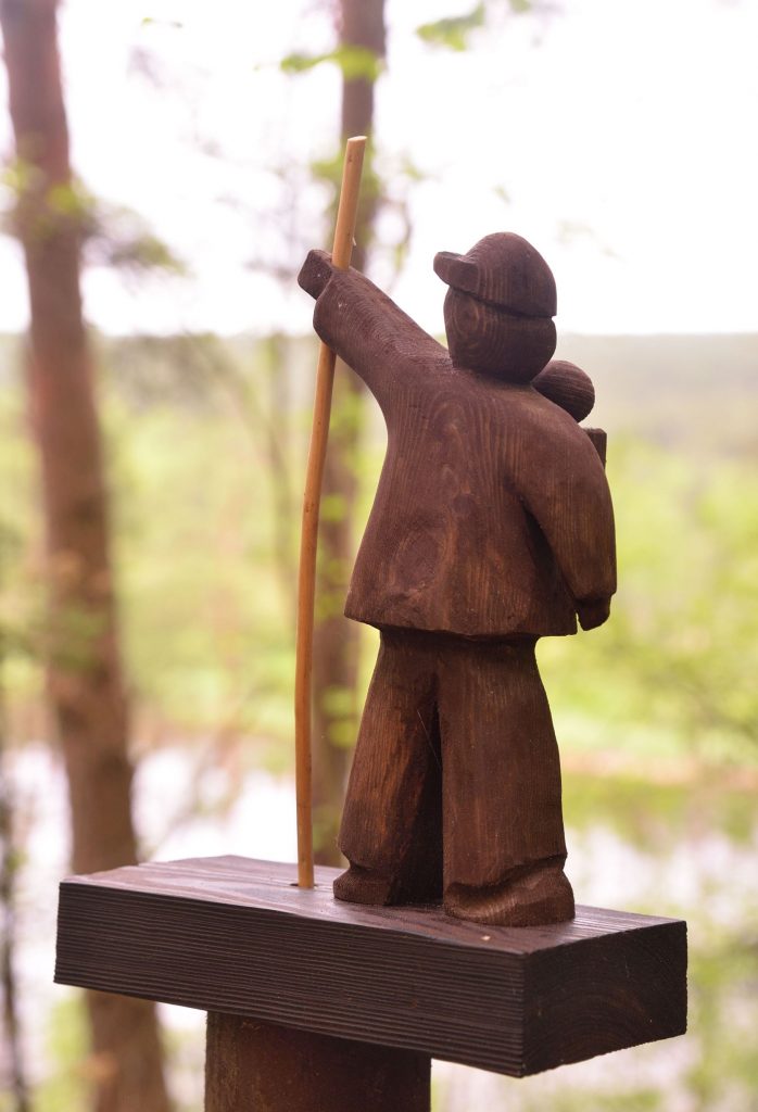


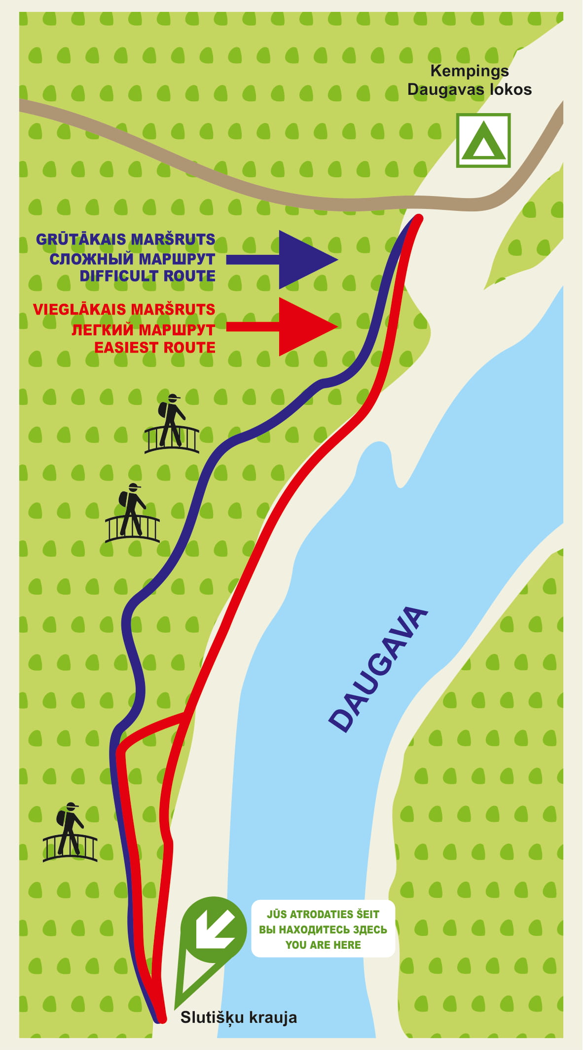
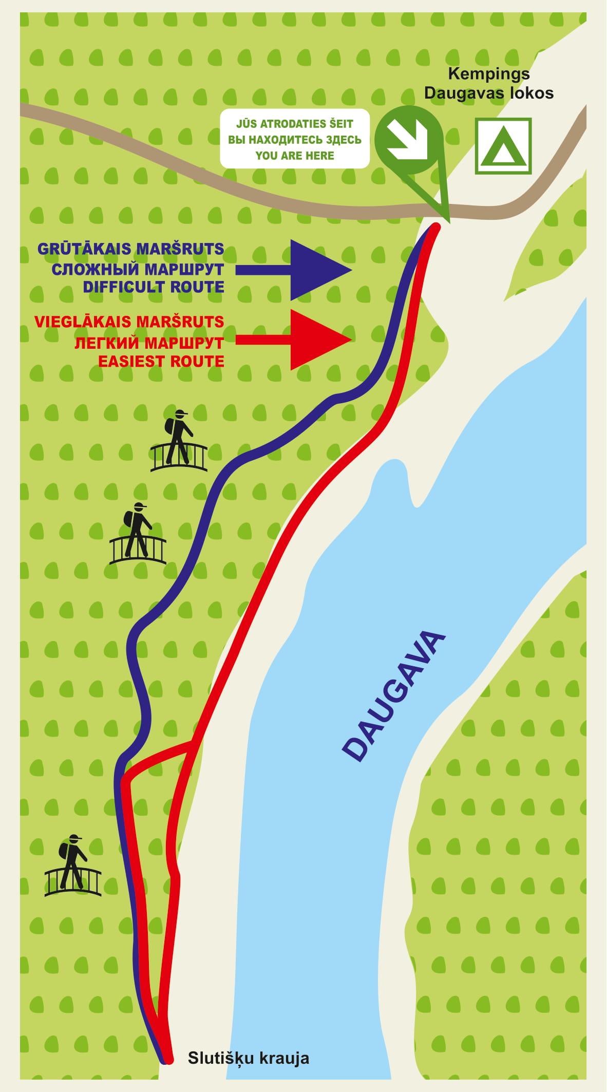


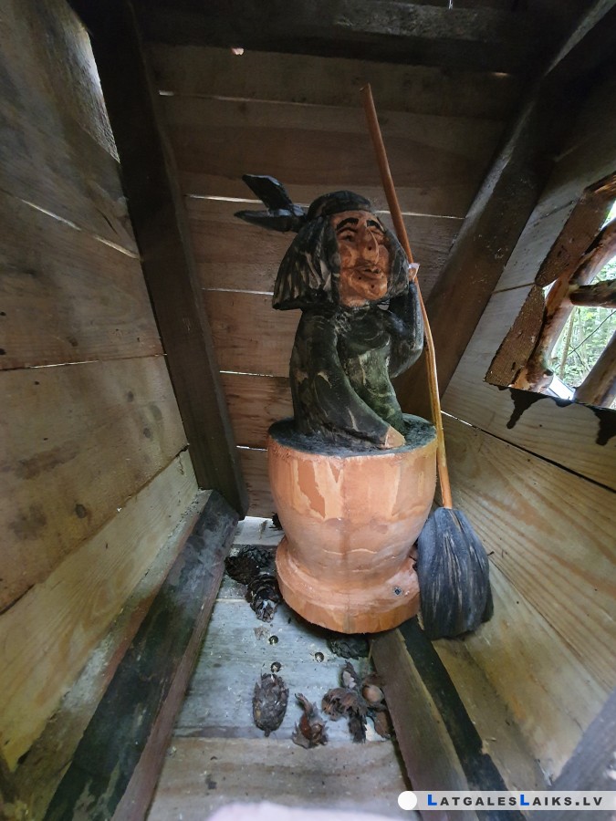


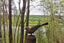
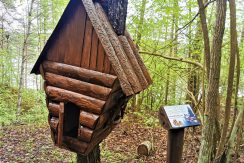


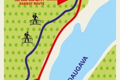


An interesting walking route is located in the very picturesque territory of the nature park “Daugavas loki”. The Slutiski ravine trail connects Slutiski scarp and Slutiski courtyard.
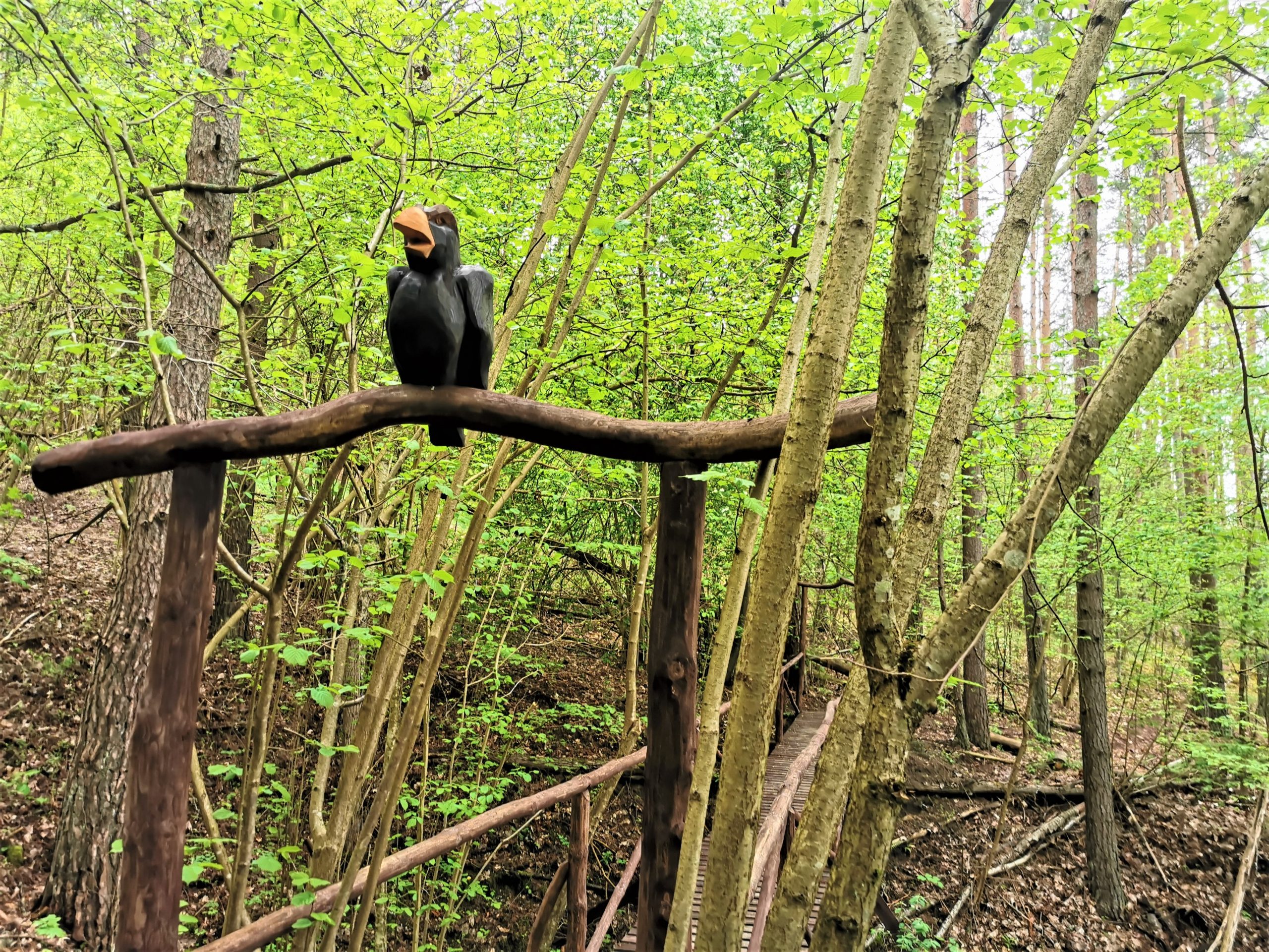
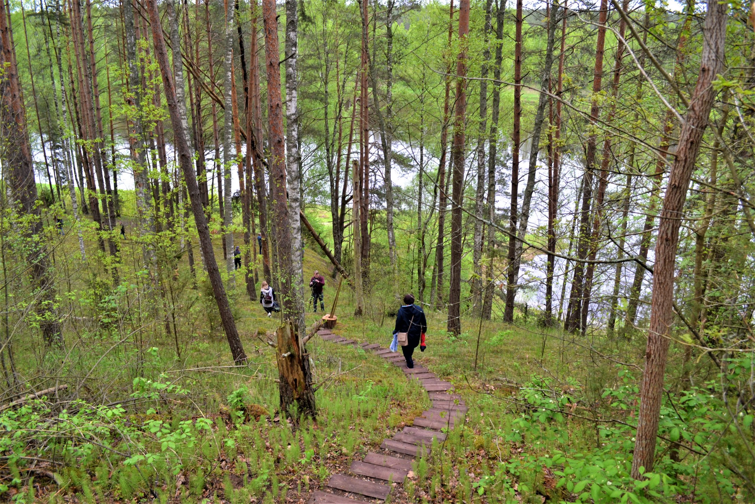
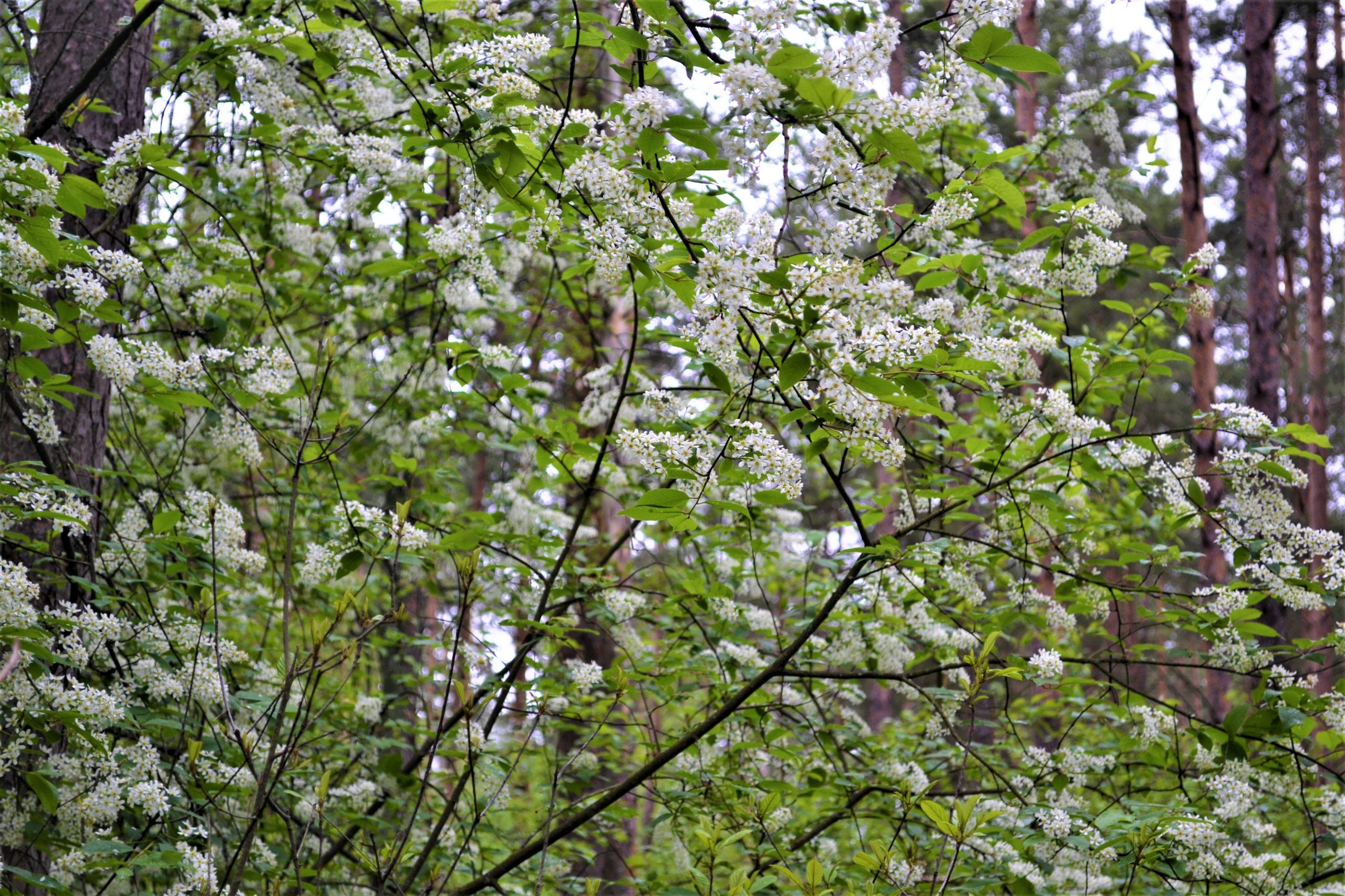
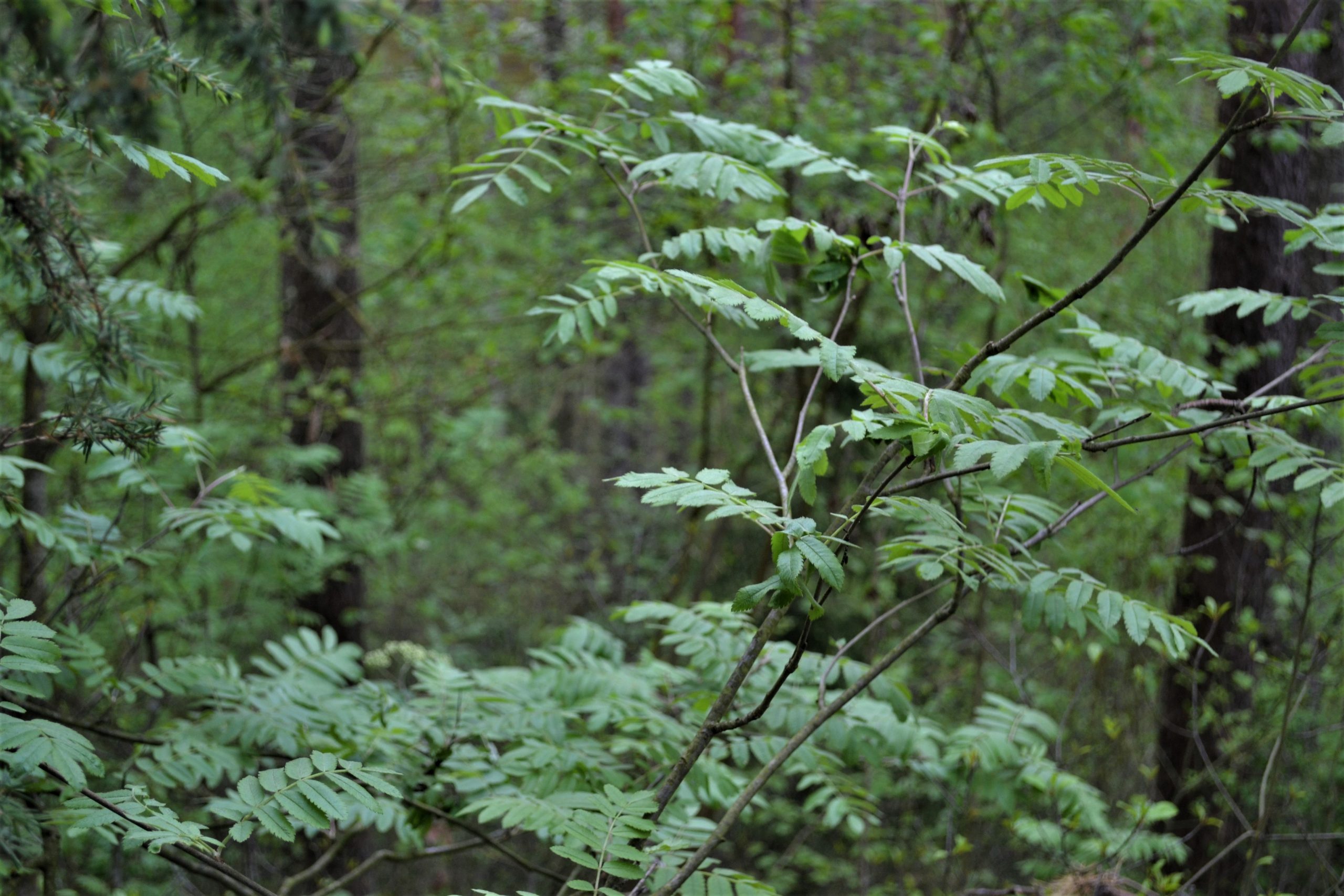
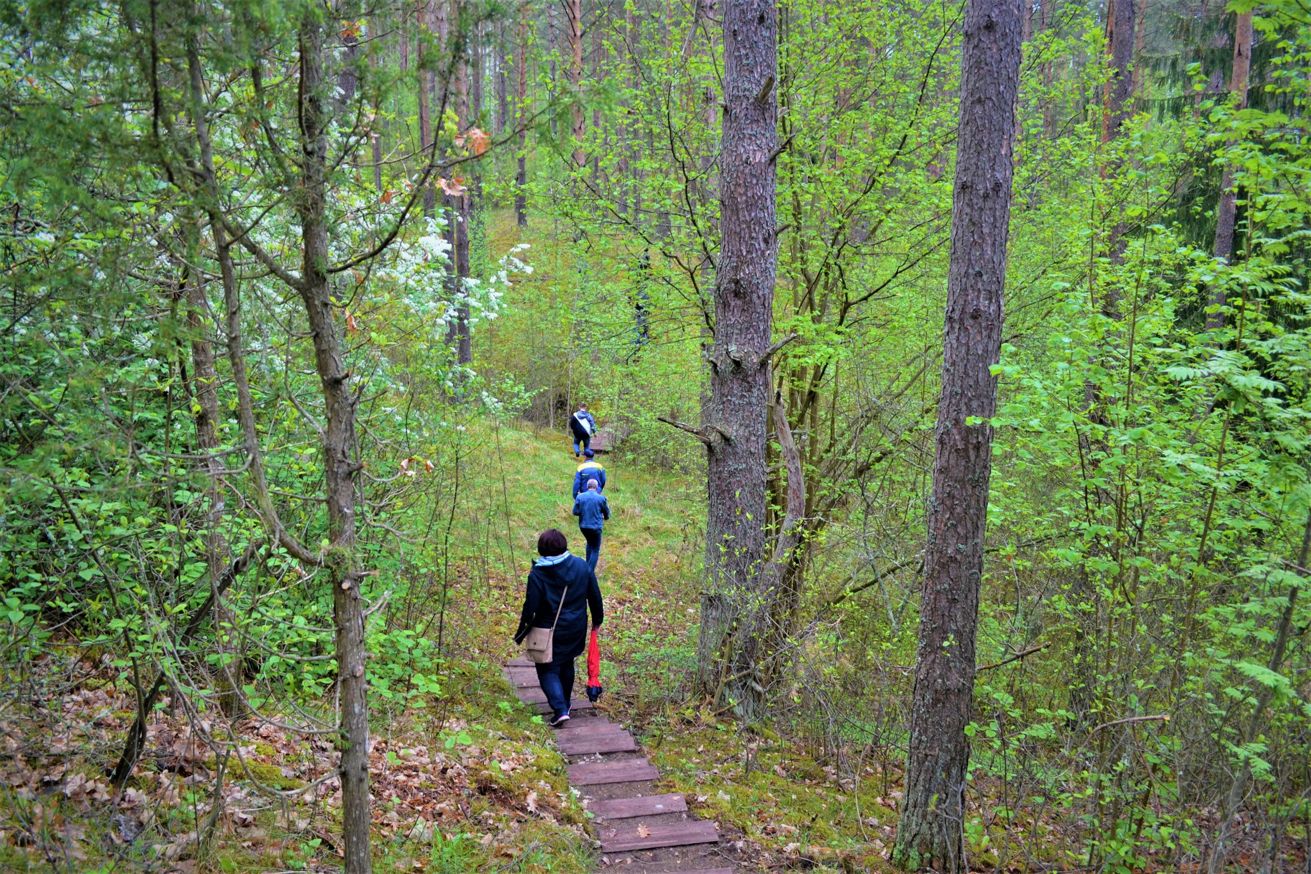
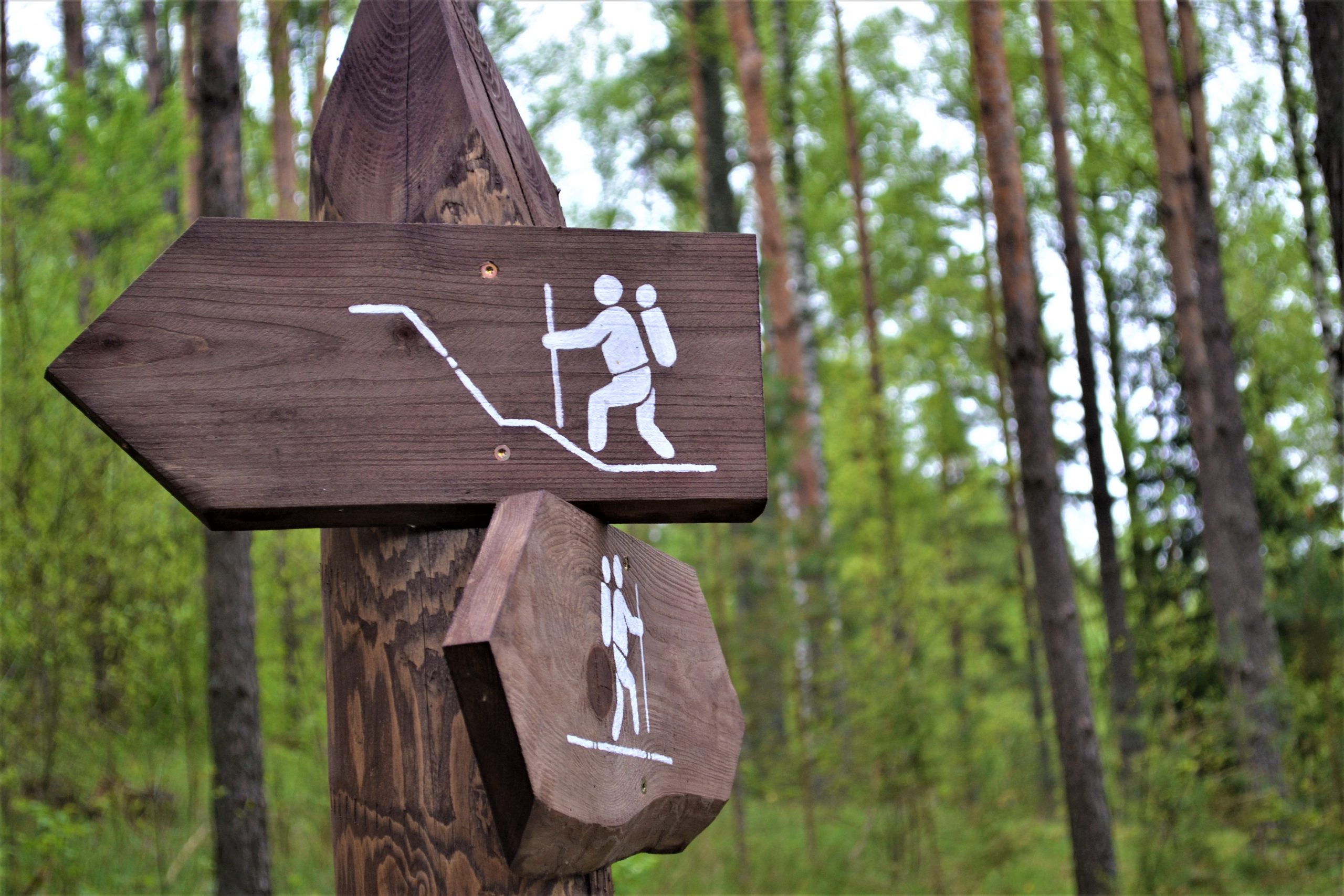
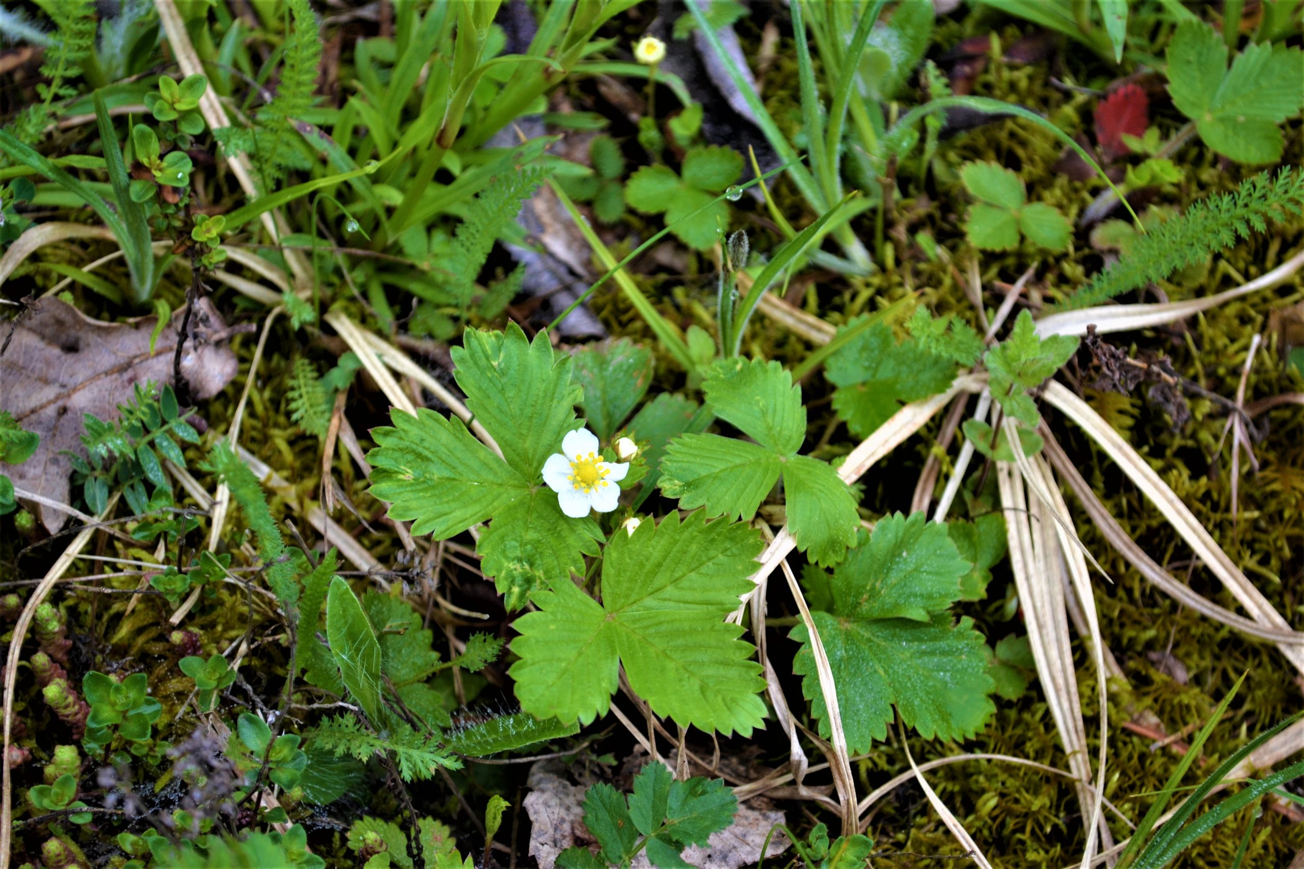
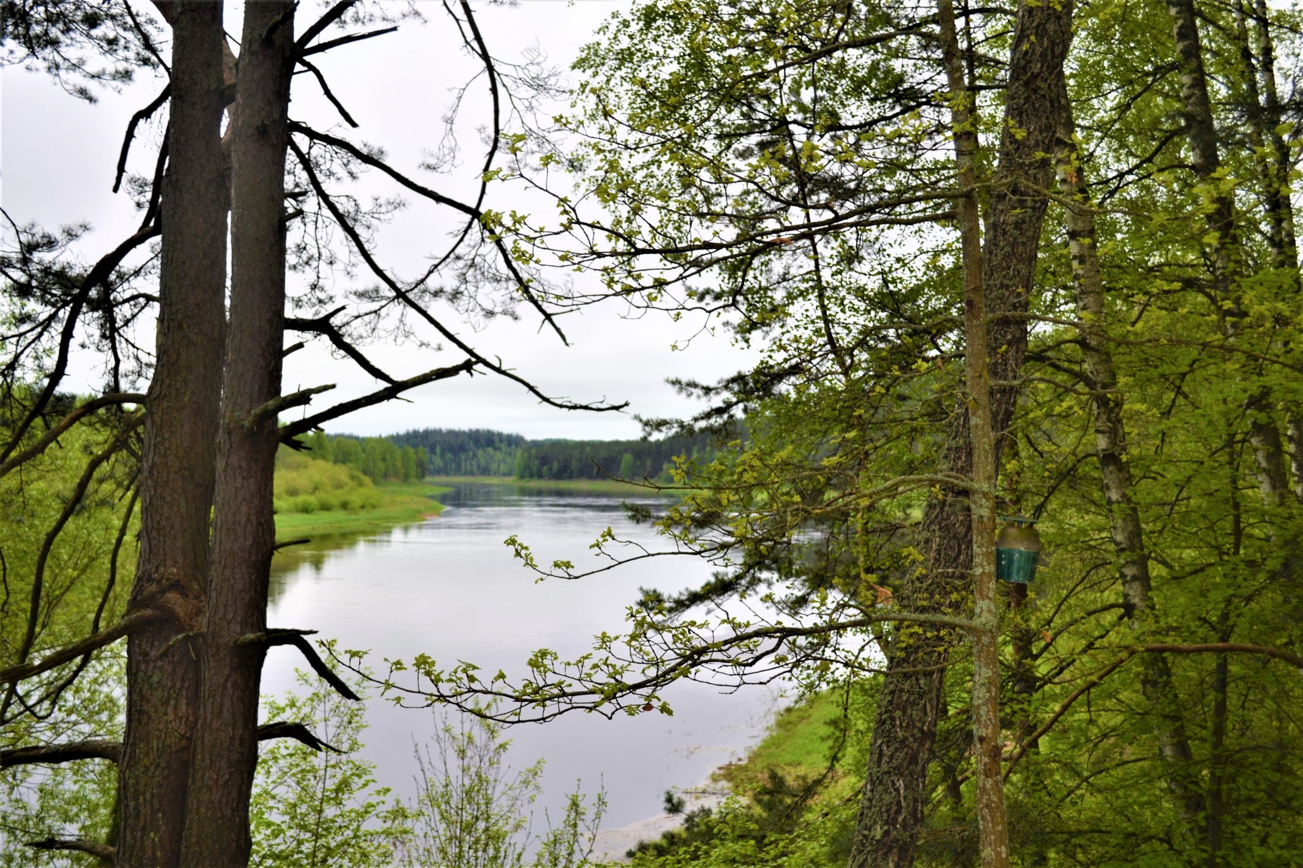
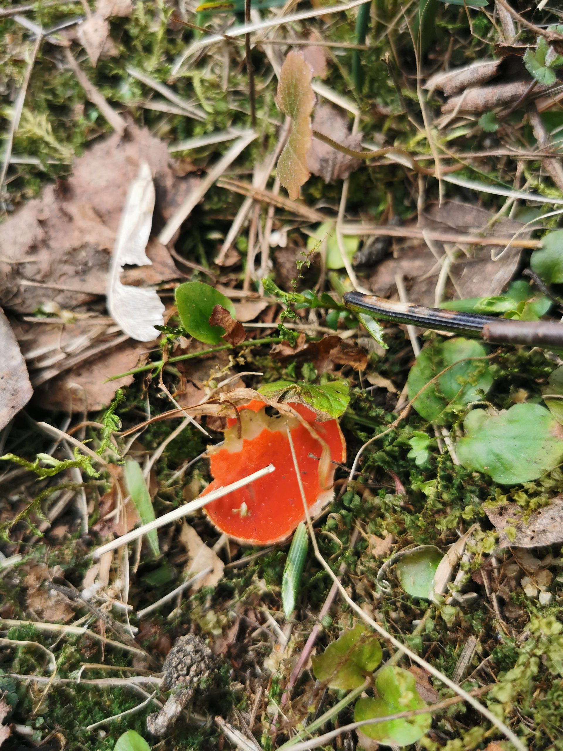
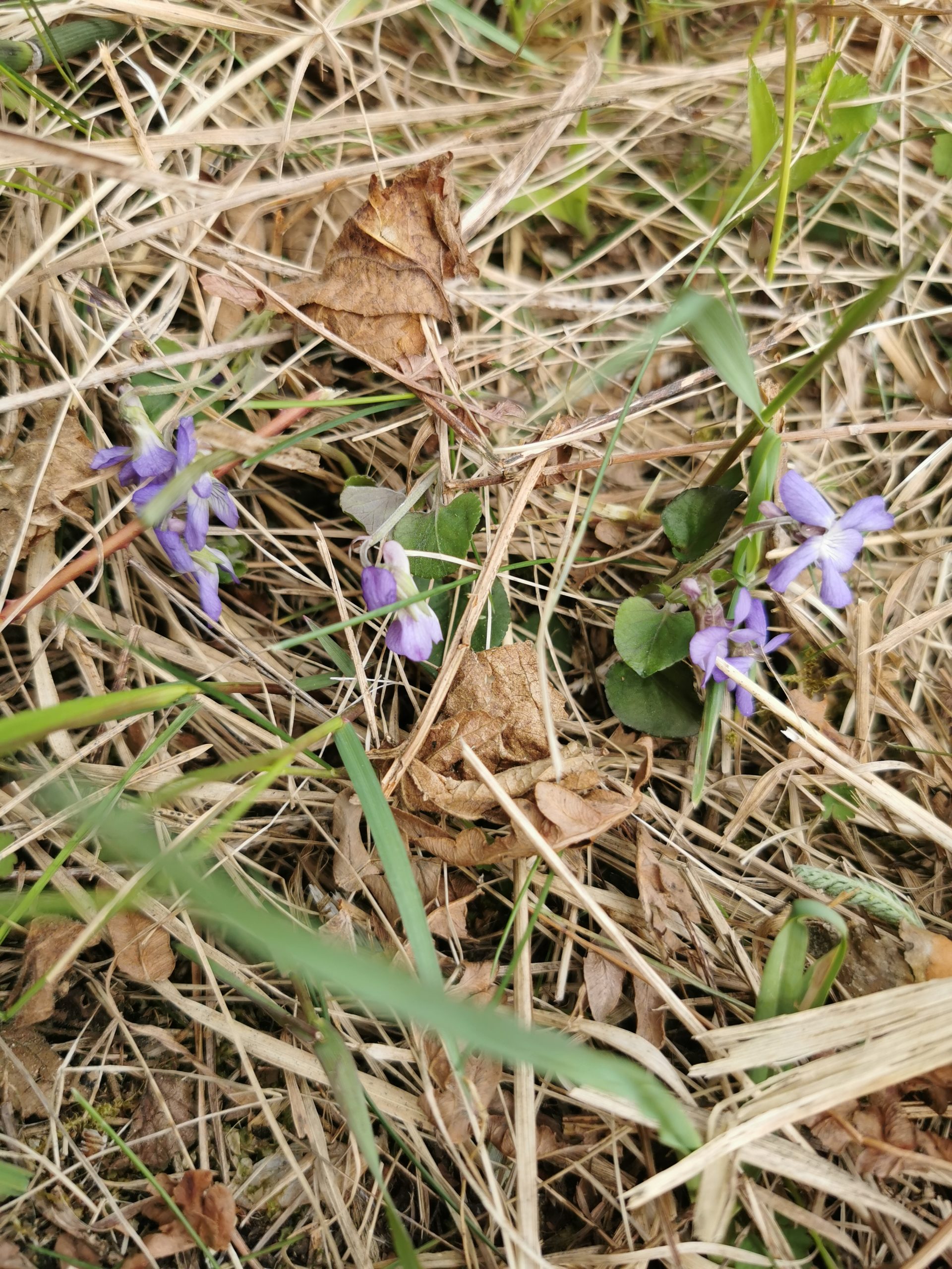
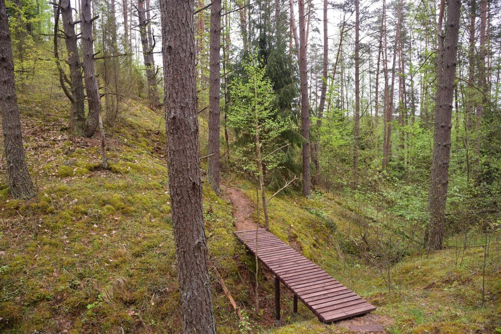
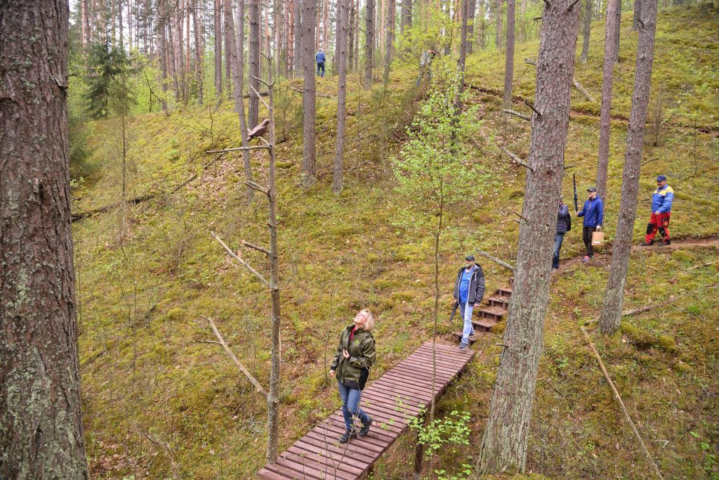
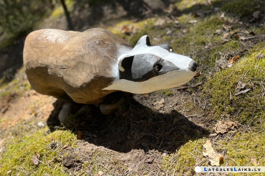
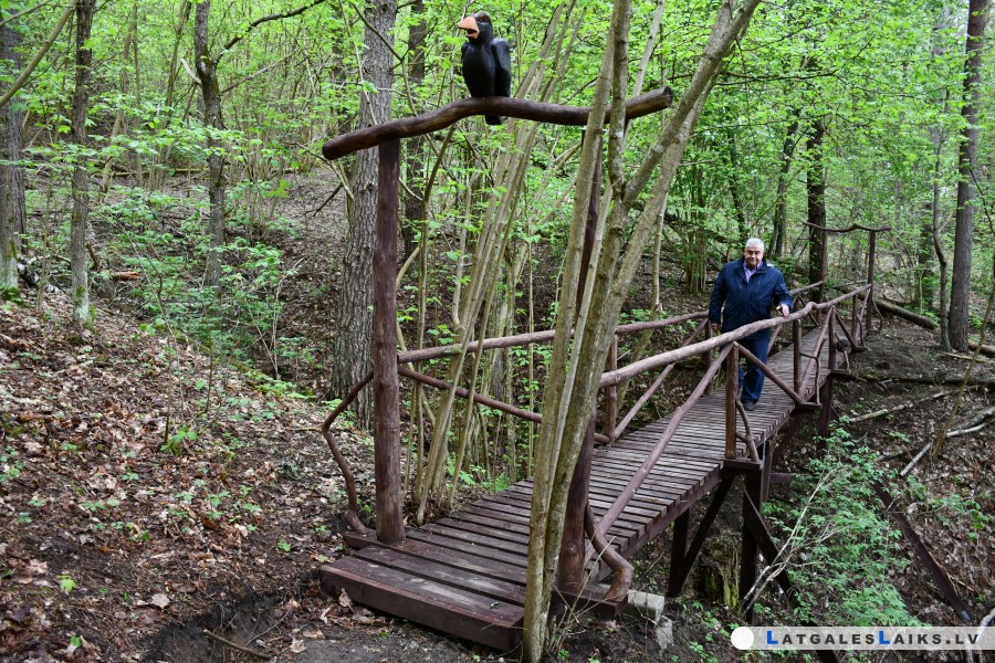
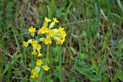
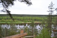
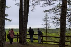
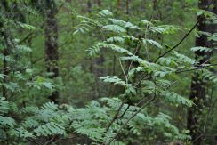
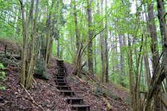
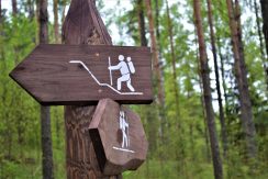
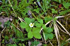
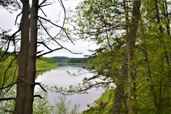
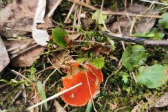
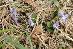
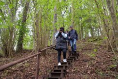
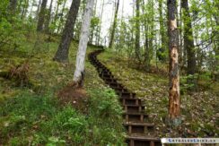
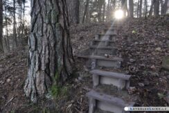
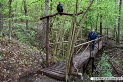
The Slutiski ravine trail is more suitable for physically active people. You can walk this trail by choosing two different levels of difficulty. The most difficult route leads through ravines, so you will have to climb stairs up and down, crossing the small wooden bridges over the ravines. During the whole walk, the magic of the Daugava river is clearly visible, you can enjoy the fresh forest air, listen to birdsongs and delight your eyes with wide landscape views. Walking along the trail, it is possible to pass several biotopes, to observe the diversity of flora and fauna, because the area is rich with a very wide representation of flora.
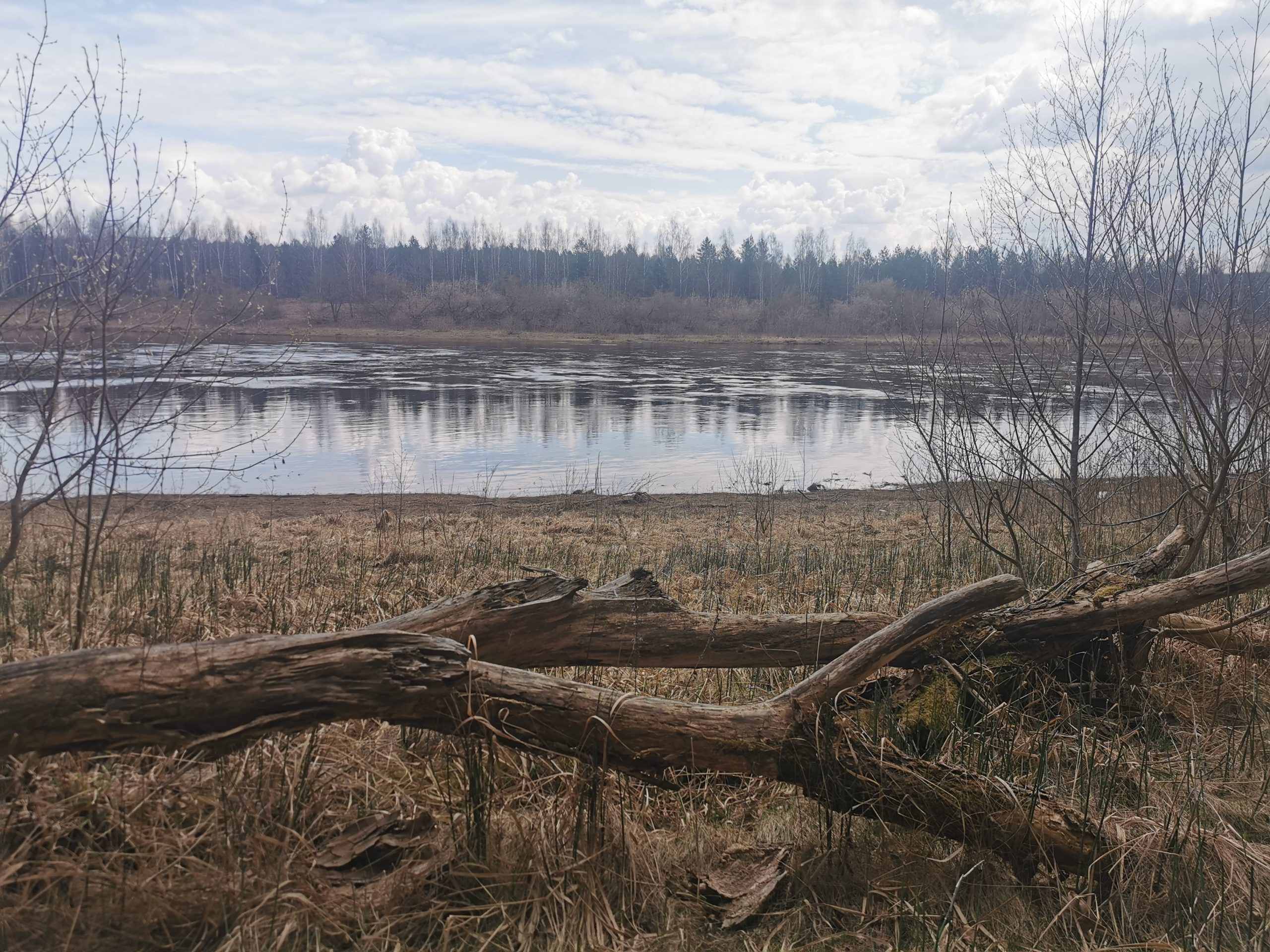
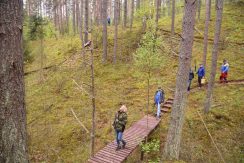
The easiest route leads along the bank of the Daugava river, and following this route, you will have to cross fewer stairs. After following the trail, you can get to the Slutiski village and the camping “Daugavas lokos”. Or, starting the walk from the camping “Daugavas lokos”, get to the Slutiski scarp.
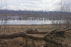
The ravines formed on the slope of the main bank of the right bank of the Daugava are relief forms formed by the erosion of temporarily flowing water flows. It can be assumed that their formation took place a very long time ago – at the end of the last ice age, more than 12,000 years ago, at the early stages of the development of the ancient Daugava valley, when the surrounding area and the valley had different natural conditions. At the time when the blocks of ice were melting, the streams of water flowed to the lowering – the future valley of the Daugava and washed away the ravines on their way. Nowadays water currents in ravine beds after rain or snowmelt only slightly transform these ancient forms of linear erosion. Therefore, it can be considered that erosion is almost non-existent nowadays and the ravines can be classified as a group of decayed linear erosion forms. The fact that the ravines have subsided is also shown by the forest vegetation that covers the slopes of the ravines.
We invite you to get acquainted with the Slutiski ravine trail and the surrounding natural values! And remember: “Going for a walk. What you bring, take away ”!